Every map tells a story — let’s explore.
Hi, I’m Hannah, a curious cartographer and GIS enthusiast who enjoys visualizing data in meaningful ways. Through my work, I aim to transform spatial information into clear, insightful, and aesthetically compelling maps.
With experience in ArcGIS and ENVI, I work with urban mapping, thematic cartography, and geospatial analysis. Whether it’s uncovering hidden patterns, illustrating geographic relationships, or designing visually striking maps, I love the challenge of bringing data to life.
This portfolio showcases my mapping projects, each crafted with precision, creativity, and a keen eye for detail. Feel free to explore my work, and if you’d like to collaborate or discuss a project, don’t hesitate to reach out!
Some Maps I’ve Made

Proximity of TRI (Toxic Release Inventory) sites to Los Angeles County Schools (2023)

Risks of Sea Level Change in Ocean City, Maryland (2023)
What Type of Mapping?
I am interested in working in various fields, from urban mapping (e.g. demographics, population densities, and impacts on disproportionately affected communities) as well as physical mapping (vegetation differences, park boundaries, and natural disaster damages). Let me know what you’re interested in, and I will accommodate.
-
Illustrates human geographic aspects, such as income, demographics, political features, and how disasters and hazards affect residents.
-
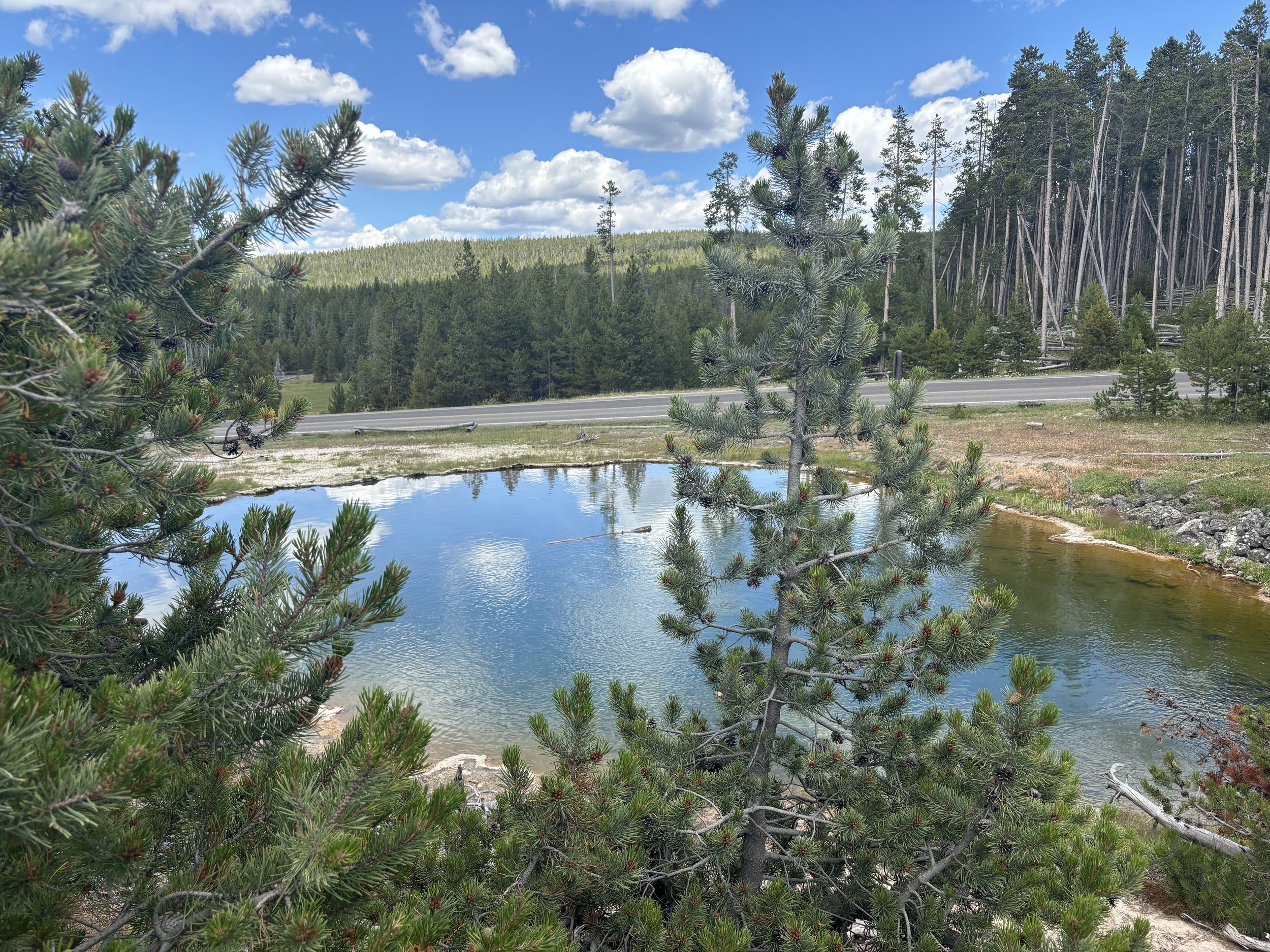
Maps physical features such as landforms, water bodies, national park boundaries, elevation, etc. We can analyze changes in terrain and climate via physical mapping.
-
I’m always open to mapping ideas and data that I’m new to! If you can provide the details, I can see what I can work with.

Find Me on Social Media!

Let’s Connect!
Interested in working together? Please provide your details, and I will be in touch shortly. I look forward to hearing from you!